ITLACMDScientific Applications  Visualization Group
Scientific Visualization
Attractive Image NIST
 
Up Visualization Parallel Computing Data Mining Released Software

Visualization of Storm Surge


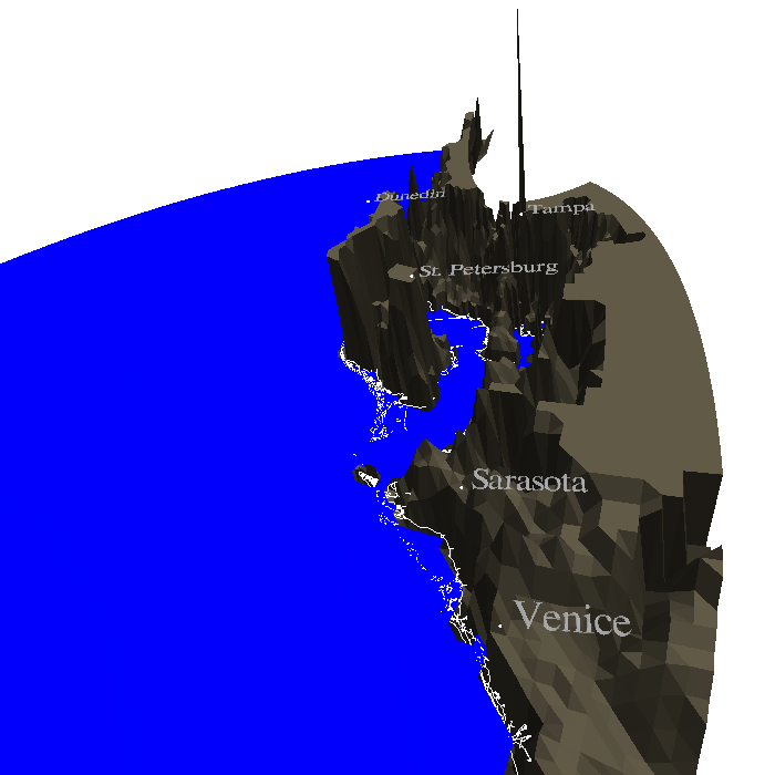
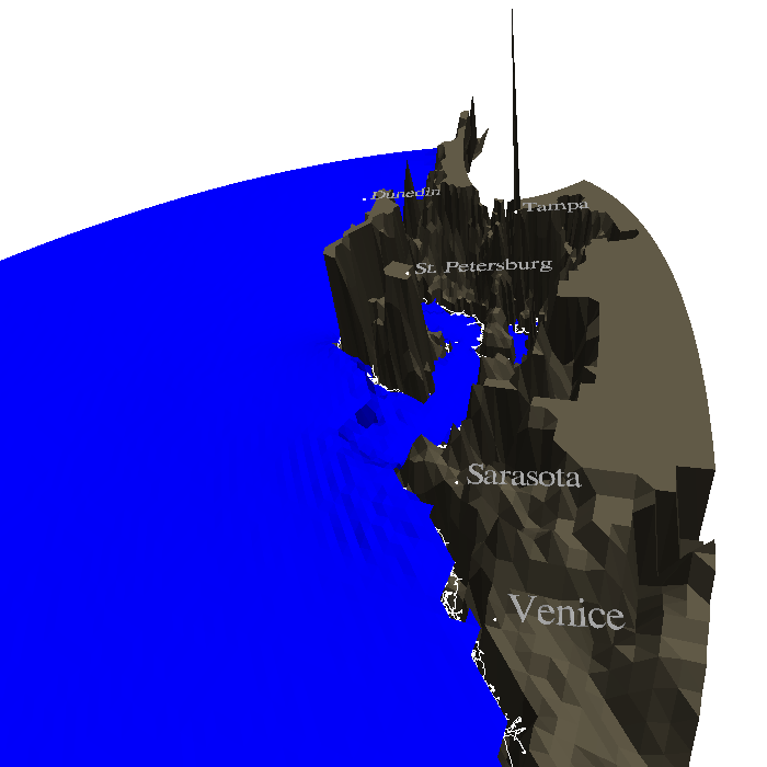
Storm surge is the rise in water level due to a storm. The NOAA simulator SLOSH (Sea Lake and Overland Surges due to Hurricanes) is used to model storm surges. This simulator computes the expected level of storm surge, over time, for a given coastal location and given the specific characteristics of a hurricane, including such parameters as wind speeds and direction. NIST (BFRL and ITL) are collaborating with NOAA to develop a statistical model of storm surges along the east coast of the U.S.A. to help define building requirements for coastal development.


The Computational Geometry Algorithms Library was used to generate all the basins as well as the surface of the water from the output of slosh. All models were true 3D and viewable in our immersive visualization environment as well as on the desktop.


(bullet) Collaborating Scientist: Long Phan
(bullet) Parallel Computing: Alexandre Marie
(bullet) Visualization: Audrey Lemoussu
(bullet) Visualization: Judith E. Terrill
(bullet) Group Leader: Judith E. Terrill

(bullet)
The Tampa Bay basin at the start of storm surge.
(bullet)
The Tampa Bay basin during storm surge.


Privacy Policy | Disclaimer | FOIA
NIST is an agency of the U.S. Commerce Department.
Date created: 2001-10-31, Last updated: 2011-01-12.
Contact